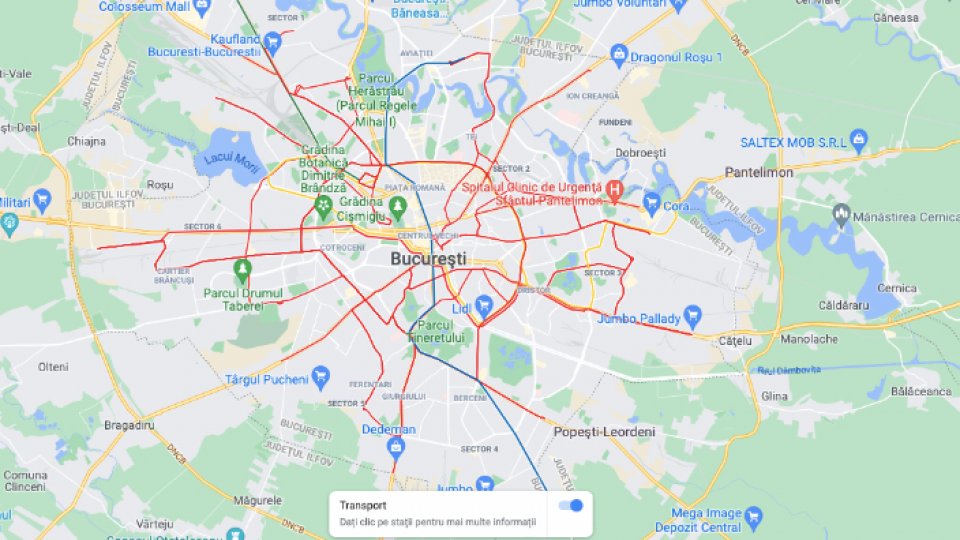
Bucharest Public transport, on Google Maps

Articol de Radiojurnal, 16 Noiembrie 2021, 04:36
Bucharest Public transport is officially on Google maps. Anyone who opens Google Maps and wants to see how to get from one place to another using public transport will receive the desired information in this application. You can find public transport options for the entire Bucharest-Ilfov region, but also the subway and train schedule from Gara de Nord to Otopeni Airport.
Firstly, the planning of the trips is displayed, later the real time operation of the transport will be known, in order for the people of Bucharest to plan their travel times using the map directly from the mobile phone.
Translated by: Radu Matei


