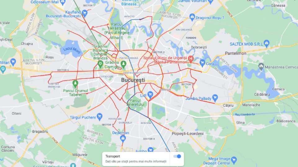
The Google Maps application has started to show, in real time, where the means of public transport in Bucharest are located

Articol de Sergiu Şteţ, 29 Martie 2023, 22:48
The General Mayor of the Capital, Nicusor Dan, announced that starting from Wednesday, March 29, the Google Maps application indicates the location of each means of public transport in real time and offers the possibility of choosing an optimal route, reports Agerpres.
"Travellers who use public transport in the Capital can see from today in the Google Maps application where exactly the bus, tram or trolleybus with which they are going to travel is located on the route. The application calculates the best route that travelers can choose until to the final destination, including the subway and/or the train in variants. Intermodality is both a novelty and a great advantage for passengers, who can choose or change their route depending on the waiting times", wrote the general mayor, on Facebook.
The application is available on most mobile phones, being "very easily accessible" by users, states Nicusor Dan.
"The location data from the GPS of the public transport operators in the Bucharest - Ilfov region are transmitted in real time to Google, and any user of the Maps application can access them. Thus, we align with the great European capitals in terms of informing travelers who use public transport. With the same application, travelers can guide themselves in any of the big cities in Europe. The partnership we concluded with Google is the result of the joint effort of colleagues from STB and TPBI", he says.
Translated by: Radu Matei


